News
1950s Map of Las Vegas
1950s Map of Las Vegas
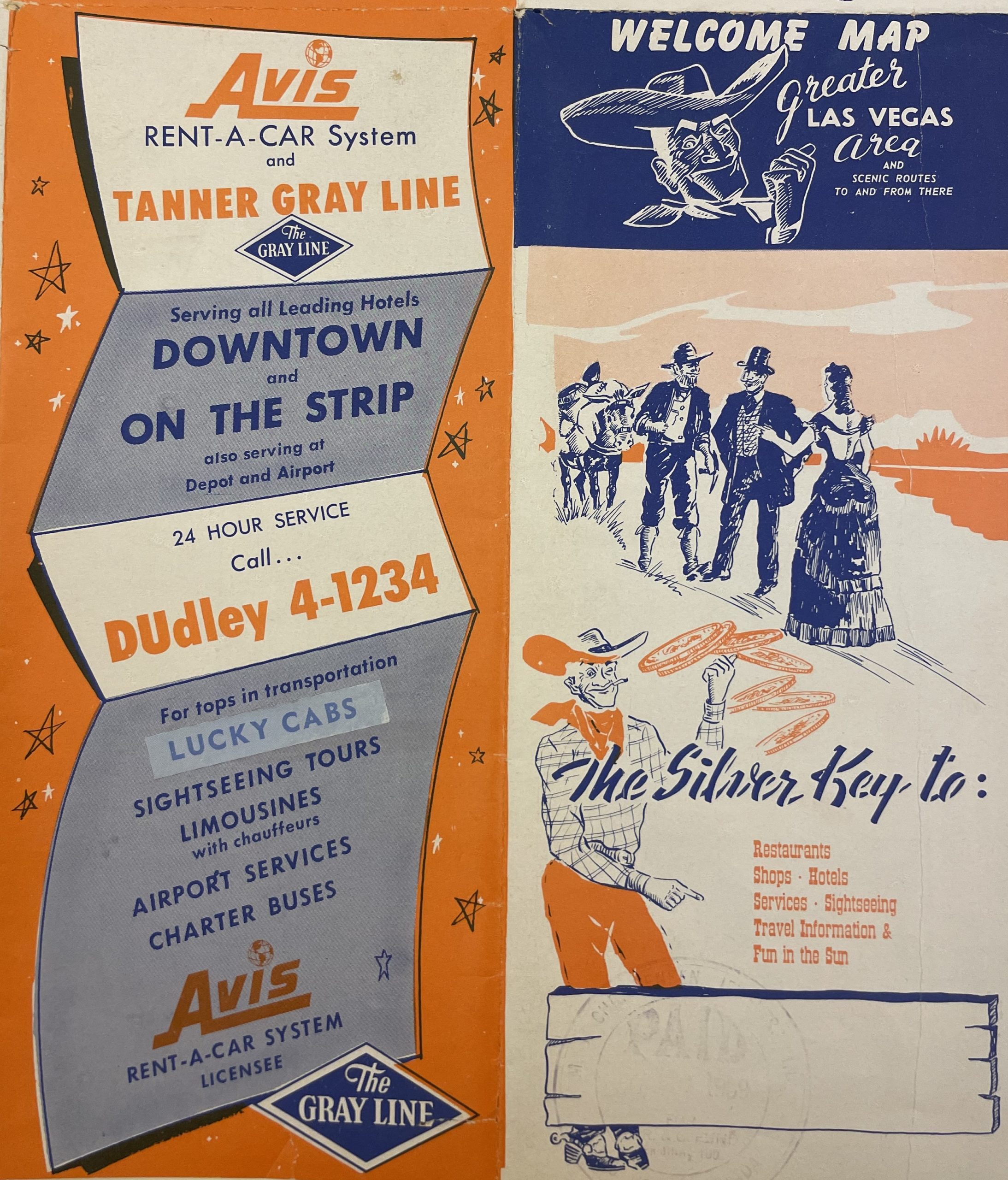
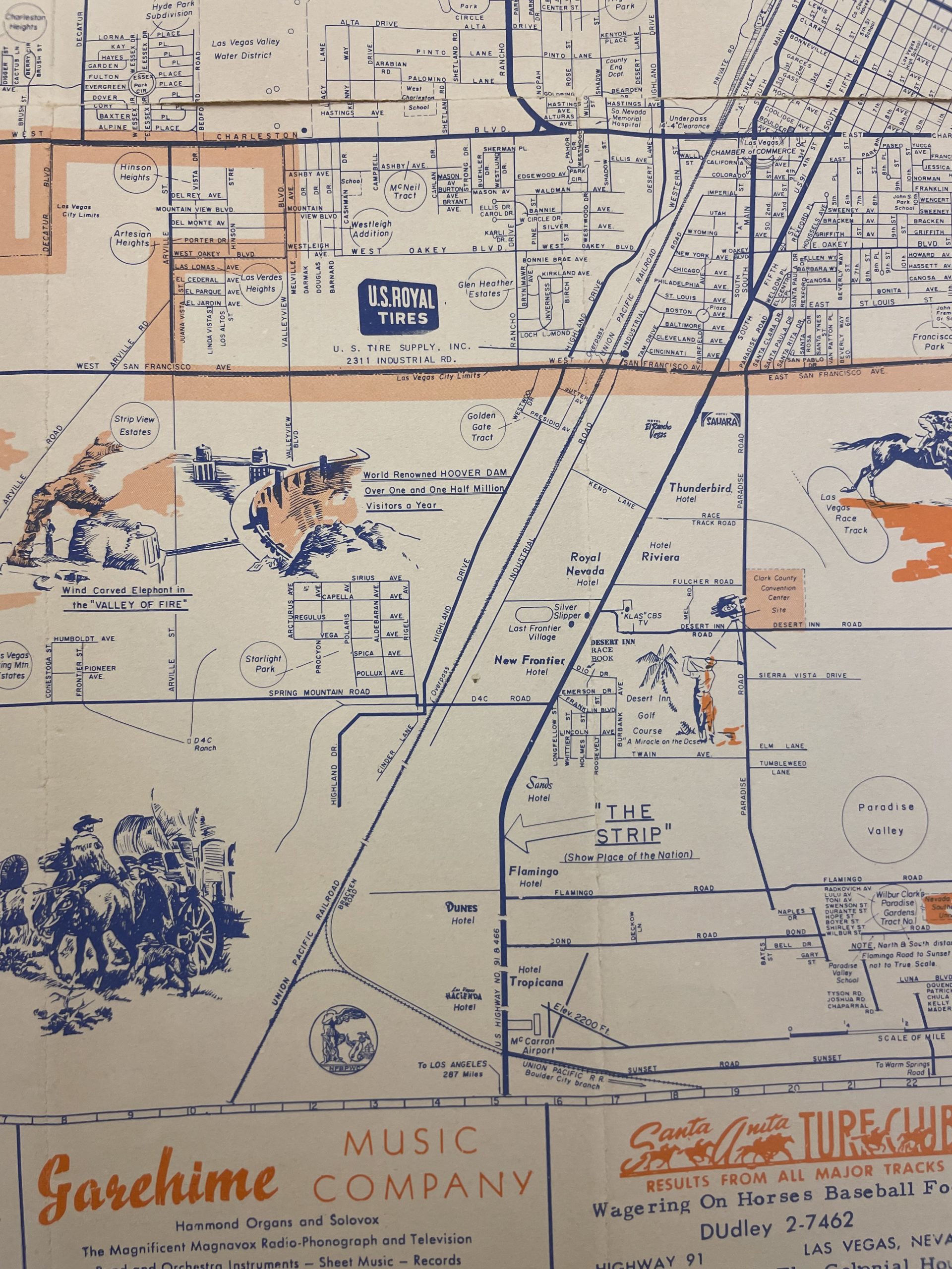
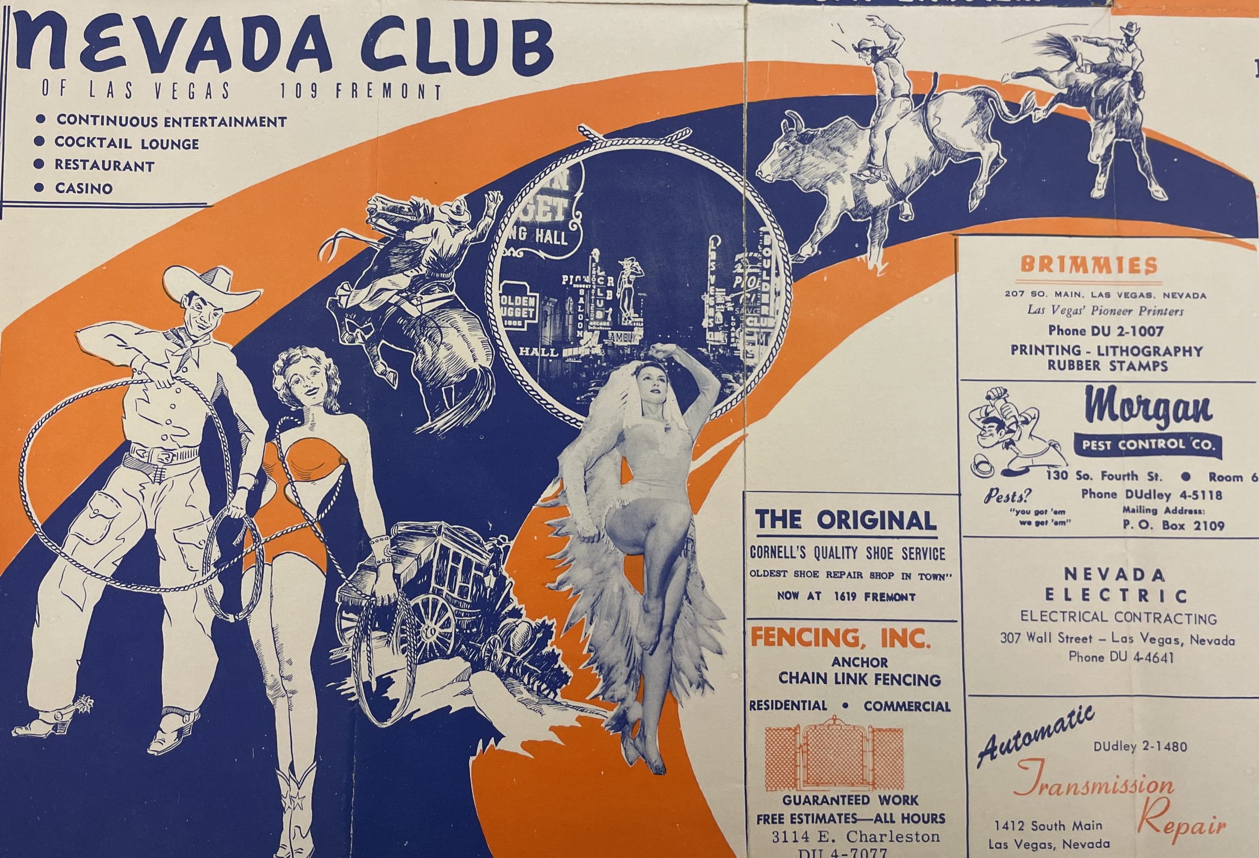
From our map collection, we have this map of Las Vegas, from the late 1950s, captures the Strip at a unique time. The map shows the Royal Nevada, the Dunes and the Riviera, all of which opened in 1955 to varying degrees of success. The Royal Nevada would eventually close for good in 1958 and become part of the Stardust, the Dunes in 1993 and the Riviera much later in 2015. The top of the map features ads for local businesses including some which are still in operation today. Click on the images below for a closer view.
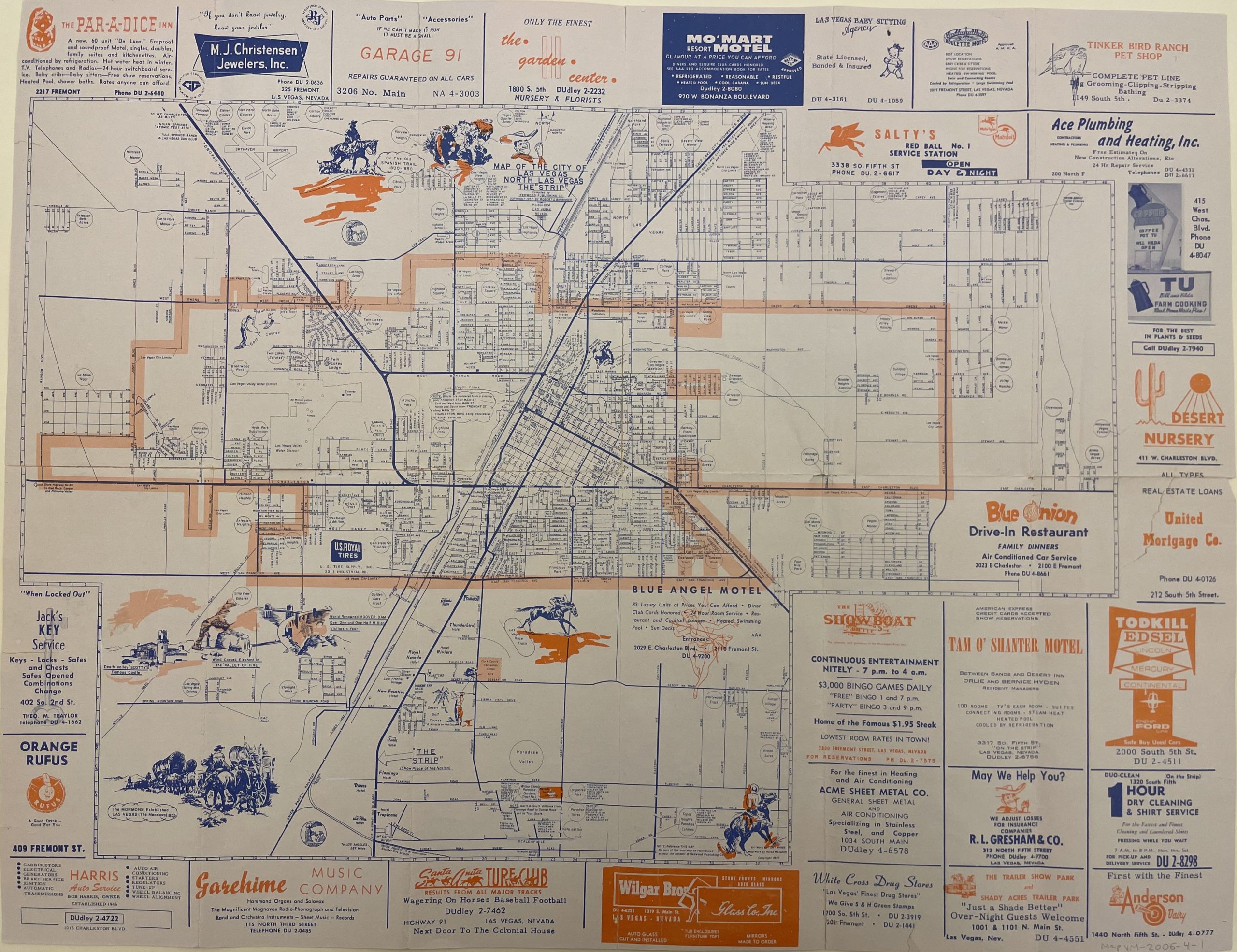
Map of Las Vegas, from the mid to late 1950s.